宝箱已打开
+${chestReward.xp} XP
Explorer
NOUVEAU ×${chestReward.collectible.quantity}
tapez pour fermer

用 AR 观赏您身边的名胜 在应用中打开宝箱

Around Us 专为手机打造——将相机对准街道,在增强现实中发现您身边的名胜和地点。 Around Us 专为手机打造——当您行走、探索并打卡附近地点时,宝箱就会解锁。

启用定位

我们需要您的位置信息,以便向您展示身边的有趣地点

探索附近地点

发现您身边的有趣地点和隐藏宝藏

精确导航

获取前往各地点的精确方向和距离

您的位置绝不会与其他用户共享,只有在您点击定位按钮时才会使用。

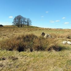
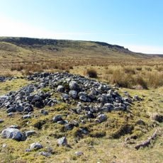
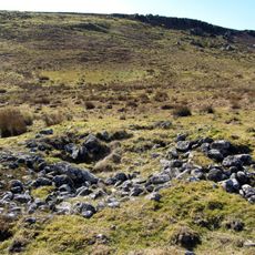
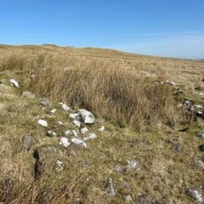
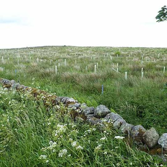
羅馬道路 - 石路

登录您的账户

开始探索——完全免费

深受全球 85,492 位旅行者信赖

通过 Google 继续
通过 Apple 继续

我们将向您发送登录验证码

继续即表示您接受我们的通用条款和隐私政策

查看您的收件箱

我们已将验证码发送到您的收件箱。请在下方输入验证码。

羅馬道路 - 石路
讨论 评价 1 照片
12.7k 热度

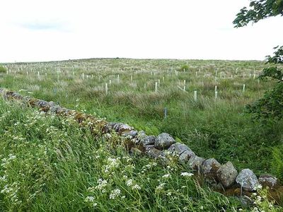
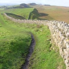
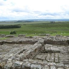
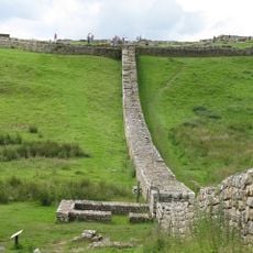
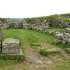
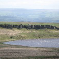
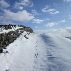
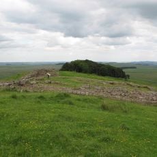
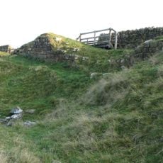
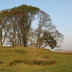
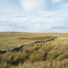
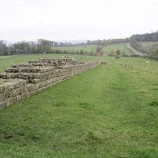
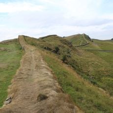
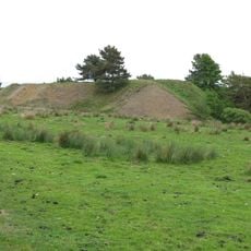
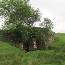
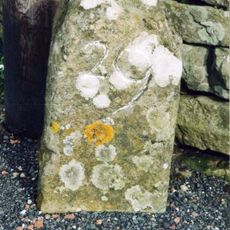
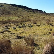
羅馬道路 - 石路, 英格兰坎布里亚郡和诺森伯兰郡的罗马道路

斯坦格特是连接英格兰北部古代定居点的罗马道路,沿着泰恩河和伊辛河形成的山谷延伸。这条路线沿着自然地形延伸,并设有一系列作为罗马军队基地的要塞。

斯坦格特建于公元77年至85年,由总督阿格里科拉下令修建,旨在建立对英格兰北部的军事控制。在哈德良长城后来成为主要防线之前,它一直是重要的战略要道。

斯坦格特这个名字来自诺森伯兰方言,意为“石路”,这表明当地语言如何影响了罗马基础设施的命名。这条路的建造方式揭示了罗马建造者如何适应周围环境,而不是实施僵化的设计。

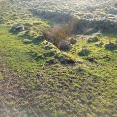
如今,游客可以探索原有罗马道路结构的剩余路段,特别是在卡林吉尔和波茨克卢等地,可以看到古老的古道切割痕迹。建议穿着舒适的鞋子,因为许多路段穿越不平坦的地形,且位于开阔的乡村地区。

这条道路上交替设有大小不一的要塞,位置相隔一天的行军路程,体现了对部队后勤的务实考量。这种布局表明罗马规划者根据军队的实际移动模式调整了设计。

好奇旅行者的社区

AroundUs 汇集了数千个精选地点、本地建议和隐藏宝藏,每天都在不断丰富,贡献者来自 60,000 位贡献者 世界各地.

开始探索
位置
隶属于
Roman Britain, Hadrian's Wall
GPS 坐标
55.00519,-2.28266
最近更新
2026年8月30日 04:40
此地周边
哈德良长城
英国

哈德良长城

2.2 km
豪塞斯特兹羅馬要塞
英国

豪塞斯特兹羅馬要塞

3.2 km
Knag Burn Gateway
英国

Knag Burn Gateway

3.1 km
Milecastle 37
英国

Milecastle 37

3.6 km
Broomlee Lough
英国

Broomlee Lough

3.5 km
Milecastle 36
英国

Milecastle 36

2.7 km
Milecastle 35
英国

Milecastle 35

2.8 km
Milecastle 33
英国

Milecastle 33

3 km
Milecastle 34
英国

Milecastle 34

2.6 km
Ridley Bridge
英国

Ridley Bridge

3.9 km
Haydon Old Church
英国

Haydon Old Church

3.4 km
Congregational Chapel
英国

Congregational Chapel

4 km
Housesteads Mithraeum
英国

Housesteads Mithraeum

3 km
Round cairn, 120m south of King's Crags
英国

Round cairn, 120m south of King's Crags

3.8 km
Round cairn, 120m ENE of Kingscrag Gate
英国

Round cairn, 120m ENE of Kingscrag Gate

3.8 km
Housesteads fort, section of Wall and vallum between the field boundary west of milecastle 36 and the field boundary west of turret 37a in wall miles 36 and 37
英国

Housesteads fort, section of Wall and vallum between the field boundary west of milecastle 36 and the field boundary west of turret 37a in wall miles 36 and 37

3.3 km
Roman quarry inscription on Queen's Crags, 680m south east of East Hotbank
英国

Roman quarry inscription on Queen's Crags, 680m south east of East Hotbank

3.7 km
Hadrians Wall, Milecastles and Turrets
英国

Hadrians Wall, Milecastles and Turrets

2.7 km
英国

Hadrian's Wall and associated features between the boundary east of turret 34a and the field boundary west of milecastle 36 in wall miles 34, 35 and 36

2.7 km
Langley Barony Mines, Haydon Bridge
英国

Langley Barony Mines, Haydon Bridge

1.8 km
Stone circle, 380m east of King's Crags
英国

Stone circle, 380m east of King's Crags

3.8 km
Hadrian's Wall and vallum between the field boundary at Brown Dikes and the field boundary east of turret 34a in wall miles 32,
英国

Hadrian's Wall and vallum between the field boundary at Brown Dikes and the field boundary east of turret 34a in wall miles 32,

2.8 km
Round cairn, 150m east of Kingscrag Gate
英国

Round cairn, 150m east of Kingscrag Gate

3.8 km
Lime Kiln 800 Metres West Of Town Shields Farmhouse
英国

Lime Kiln 800 Metres West Of Town Shields Farmhouse

3.4 km
Round cairn, 150m ESE of Kingscrag Gate
英国

Round cairn, 150m ESE of Kingscrag Gate

3.8 km
英国

Bastle at Grandy's Knowe

3.9 km
Milestone, E of Housesteads Roman Fort; at entrance to "Beggarbog"
英国

Milestone, E of Housesteads Roman Fort; at entrance to "Beggarbog"

2.4 km
英国

Lipwood Railway Bridge

3.9 km
显示完整地图
评价
分享您的体验

暂无评价

讨论
发起讨论...

暂无讨论

羅馬道路 - 石路 - 英格兰坎布里亚郡和诺森伯兰郡的罗马道路》由 Around Uszh.aroundus.com)提供。图片和文字源自 Wikimedia 项目,采用 Creative Commons 许可协议。您可以在许可协议规定的条件下复制、分发和修改本页面的副本,但必须清晰显示本声明。

无论走到哪里,都能发现隐藏的宝藏!

从私藏咖啡馆到令人惊叹的观景点,避开拥挤的热门景点,找到符合您风格的去处。我们的应用提供语音搜索、智能筛选、路线优化以及来自世界各地旅行者的内行建议,让一切变得简单。立即下载,享受完整的移动体验。

Around Us App Screenshot

发现新地方的独特方式

Le Figaro

所有值得探索的地方

France Info

几次点击,定制专属行程

20 Minutes

Around Us
旅行指南与地图
下载

发送到您的手机

QR Code
1

打开手机上的相机应用。

2

将相机对准二维码,将会出现一条通知。

3

点击通知打开链接。